Oregon Trail - 7/2010

The giant that greets visitors at the head of a trail that leads into to Ladybird Johnson Grove at Redwood National Park.

Statistics:

Dates: July, 2010, for 12 days & 11 nights.


Areas Explored: Dakotas, Yellowstone, Snake Valley, Columbia Valley, Oregon Coast, Northern California, Great Basin, SLC (15 states)

New Frontiers: first time in Oregon, first time in Nevada by car, first drive to Pacific from home, furthest car ride ever, longest streak of nights camping, seven grizzlies


Transportation: 2009 Dodge Grand Caravan, new battery


Wild Animals: countless bison, prairie dogs, pronghorn, coyotes, 2 grizzly mothers with cubs, marmots, 1 satisfying moose, bats, elk herds, fox, harbor seal, feral horses, mule deer, white-tail deer, California squirrel, starfish, various oozing sea creatures


Pioneers: Scott, Jessica, & Andrew

(Who are those other kids?)


Our own Oregon Trail with camp/night markers. My longest drive ever was on the way home from Evanston, Wyoming.


Part 1: The Badlands of South Dakota 
We began the trip about 11 p.m. and headed west and north into Wisconsin. The sun rose as we were crossing the Mississippi River near Dakota, MN, and by the time we hit Blue Earth, we were ready for some breakfast. We rode on to Mitchell, SD, stopping to rest and change drivers and remember our Mitchell pasts. After lunch in Chamberlain, we reached a beloved destination and set up camp at Badlands NP's Cedar Pass campground. It was 100 degrees.

The glorious fiberglass Green Giant of Blue Earth, MN.

Andrew cannot believe his eyes even though he's already been here three times.

Workers artistically stapling corn husks on the Corn Palace in Mitchell, SD.

The design, as you know, changes every year.

Andrew makes the most of the Corn Palace by driving his school bus.

After setting up camp, we spent the 100 degree afternoon playing in the sprinklers at Wall Drug.

Andrew's bear impression at Wall Drug, SD.

Andrew enjoying some insensitive racial stereotypes.

A view of the famous Badlands.

There is life in the Badlands... a goat.

Driving along the scenic loop in Badlands NP, SD.

They didn't have signs like this on the Oregon Trail, did they?

The evening sun against the eroded rocks of the Badlands.

The moon rises above Interior, SD.

It looks like another planet, but this is South Dakota.

Grasshopper sex on my tent.

What a way to beat the heat!

Buffalo Gap National Grassland adjacent to the Badlands.

You shouldn't walk on these national treasures.

Us and the Badlands.

 
  Part 2: Hunting the North Dakota Badlands 
Considering the heat, we decided to head north skirting the Black Hills and then running through the buttes and pronghorn-filled plains to our favorite national park, Theodore Roosevelt NP. The trip to North Dakota began at Sturgis and we were happy to see the temps go down as the hours passed by. The reason I love TRNP is because of the comfortable camping and great wildlife spotting opportunities. We were not disappointed.

Roosevelt is home to some massive prairie dog towns. Just watch out... rumor is they carry the plague.

I could not resist buying this "Teddy" at Roosevelt NP.

One of many horse bands that roam wild in the hills.

Andrew says, "Horsey mommy! Horsey baby!"

The badlands of Roosevelt Park.

We saw this pair of elk in the remotest part of the park.

Mule deer have large ears, a black-tipped tail, and hop a bit when they walk.

The bison bulls were often spotted walking alone or in small groups away from the herd.

Bull courts a cow by sniffing her backside and sticking out his tongue.

How does such a cute little guy become such an ugly hunk of meat?

We spotted the herd about three miles from camp. By morning they moved about half a mile closer.

Roosevelt Park is one of the most comfortable places to sleep in a tent, even with late night coyote calls.

Bison nursing in the field.

This is what park rangers refer to as an "animal jam."

A prairie dog couple cautiously looks out for bison.

Relaxation in my North Dakota summer home. This was our third trip to Roosevelt Park.

 
  Part 3: Three nights along the Yellowstone 
We decided to take our time on our third trip to Yellowstone. Previous journeys were rushed since we could never find camping. Our strategy this time was to camp one night in the boonies and then grab a site early and keep it. It worked, although I had my doubts about the boonies campsite, which was 10 miles from anyone, up a mountain, and full of decomposing deer bones. We were also challenged by a dead car battery in Yellowstone, but the perils proved worth it since we experienced Yellowstone more fully than before.

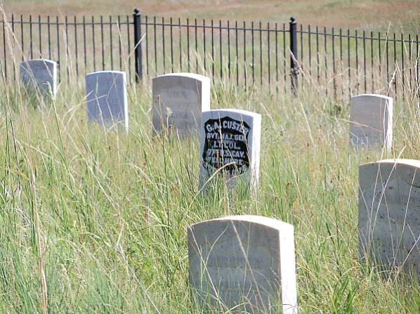
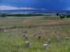
This marks the spot where Custer fell at the Battle of Little Bighorn in southern Montana.

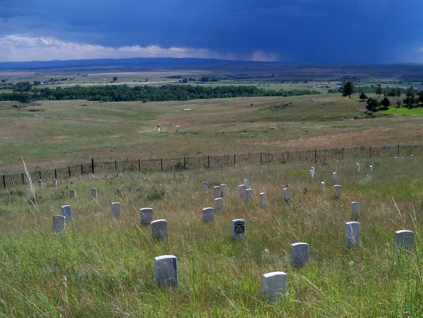
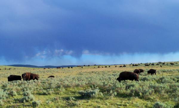
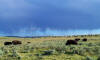
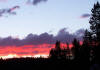
A prairie storm bears down on Last Stand Hill at the Little Bighorn site.

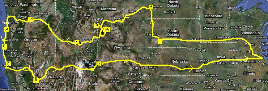
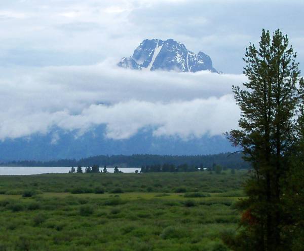
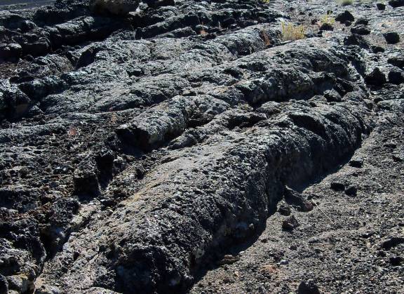
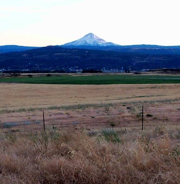
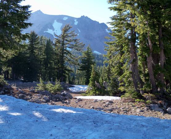
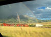
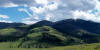
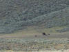
The storm forced me away from my original route through the Bighorn Mountains into the plains.

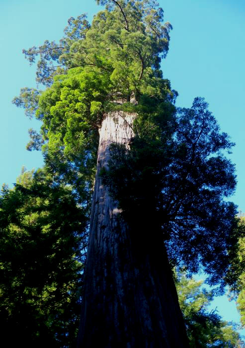
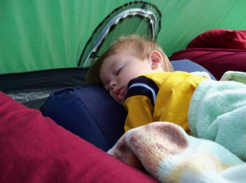
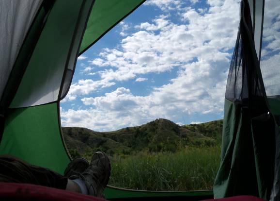
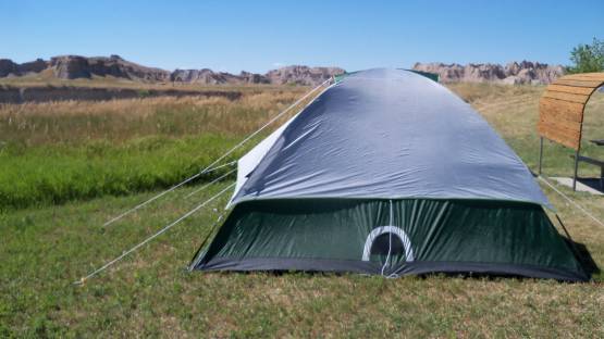
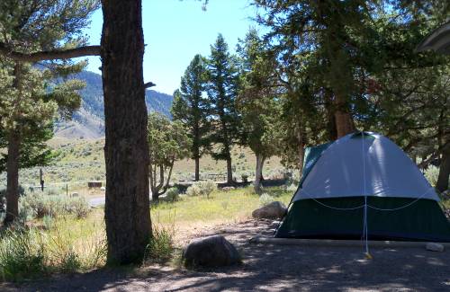
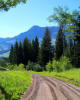
This is mile 9 of the ten mile gravel road up into the wild and lonely Tom Miner campground, where we broke down.

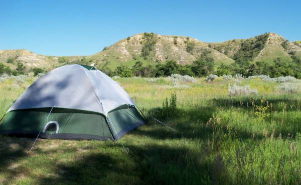
After setting up camp in Yellowstone, we headed over to the Lamar Valley for wildlife watching.

Lamar is well-known for the wolf packs that roam these hills at night.

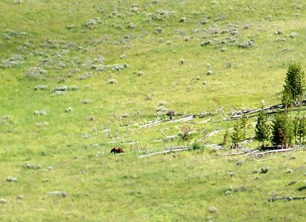
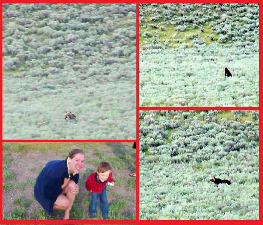
A mother grizzly spotted from a mountain-top. She was followed by two cubs.

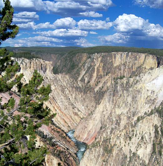
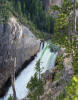
Yellowstone's Grand Canyon.

The falls of the Yellowstone River.

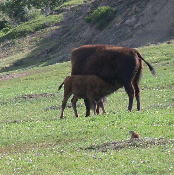
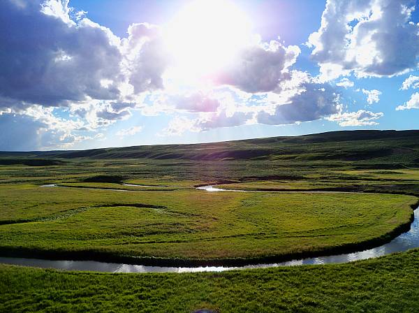
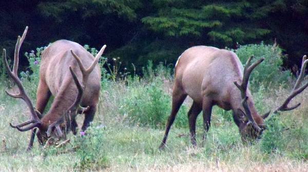
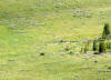
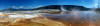
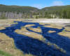
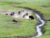
The Hayden Valley was teeming with life of all sorts.

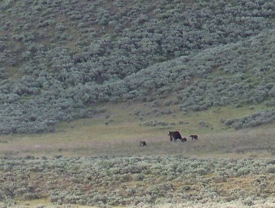
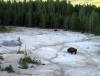
We got a good luck at this grizzly with cubs as she cautiously approached a bison bull.

The Hayden grizzly mother and cubs walk through the willow brush.

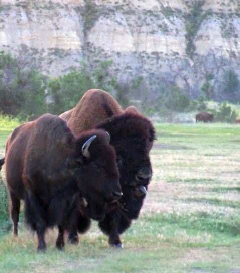
Part of the massive and very active Hayden Valley bison herd.

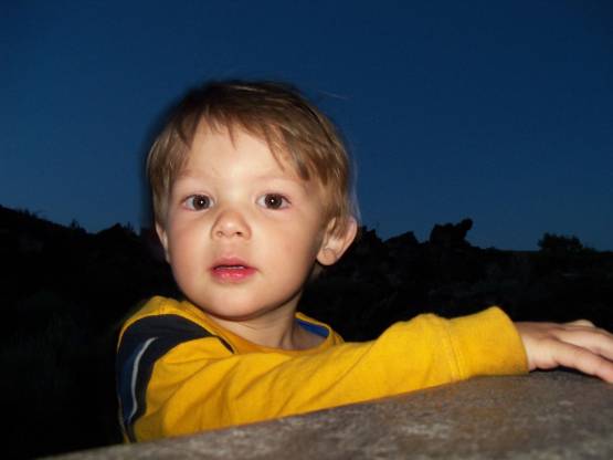
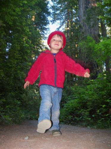
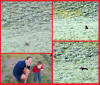
Andrew thinks the sulfer smells coming from the geysers are stinky.

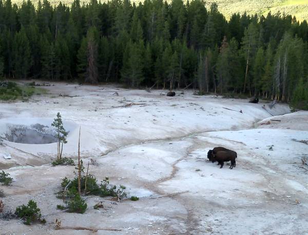
A bison bull and cow cuddling in a geothermal area near Hayden.

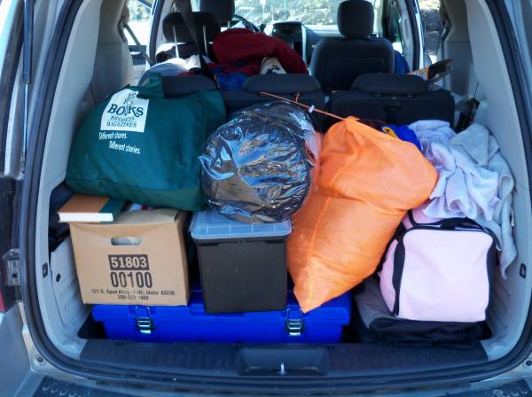
After paying the local auto repair monopoly for a new battery, day one of Yellowstone was quickly fading.

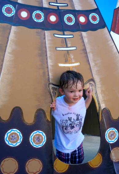
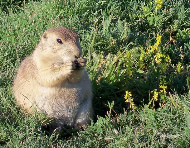
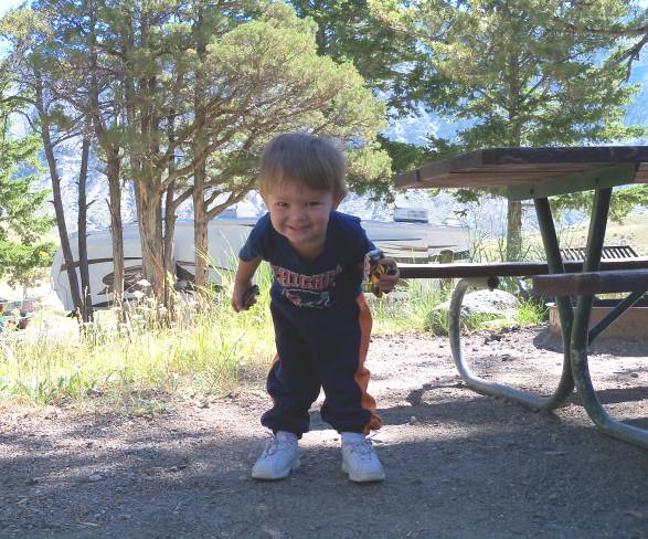
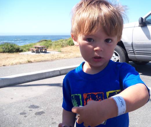
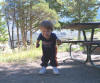
Andrew spent the mornings at our Mammoth campground feeding the ground squirrels.

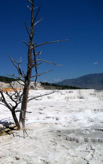
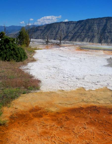
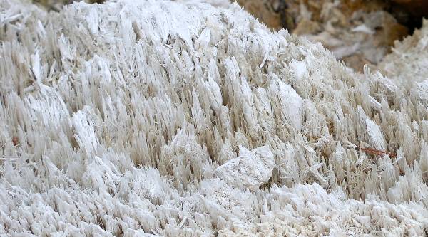
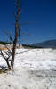
The "dead" landscape of Mammoth Hot Springs is actually teeming with heat-loving bacteria.

The famous hot spring at Mammoth near our Yellowstone Park headquarters.

Andrew and Daddy cannot believe how cool the volcanic effects are at Mammoth.

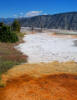
Mammoth Hot Springs is a very colorful place.

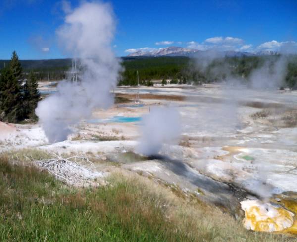
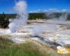
Some small geysers at the Norris Basin.

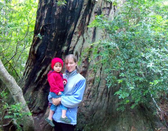
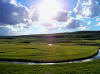
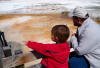
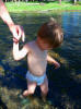
Andrew and Mommy enjoy wading in a tributary creek of the Madison River.

The hot springs here are drained by these violet streams. This spot was home to a pair of huge marmots.

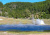
A geyser across from Firehole Lake sputters and spews a five foot tall fountain of boiling water.

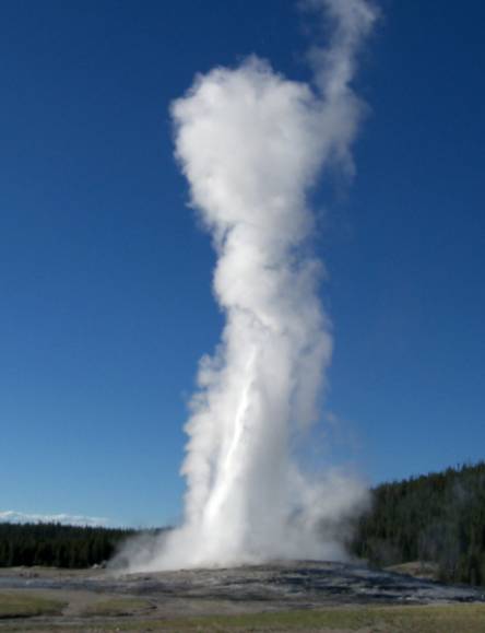
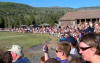
A crowd awaits the famed Old Faithful, but didn't seem to notice an equally amazing cncurrent eruption right behind it.

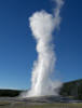
It's hard to capture what Old Faithful is with a still photograph, but here it goes.

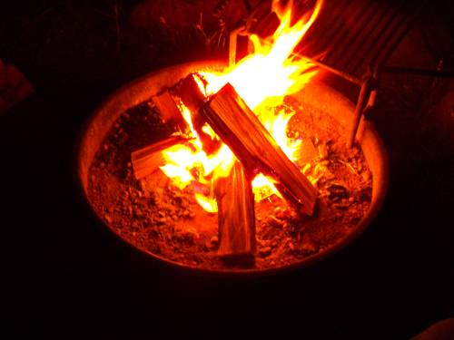
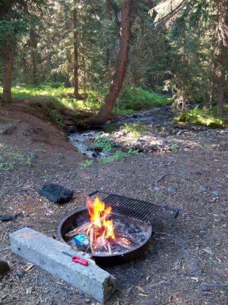
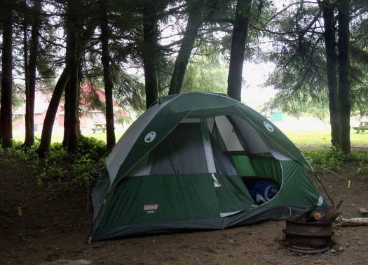
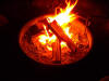
Burning birchwood at our campsite. We were awoken late in the night by elk bugles.

Hayden bison playing in the dirt.

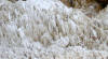
These textures are made up of "fossilized" dead bacteria.

The colorful geysers of the West Thumb of Yellowstone Lake.

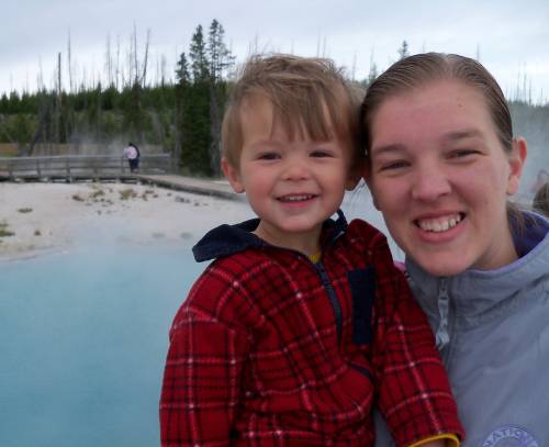
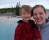
Andrew and Mommy at stinky West Thumb.

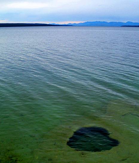
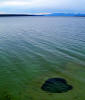
There are even geysers and springs on the bottom of Yellowstone Lake, which is actually a cauldera.

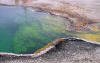
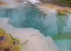
Colors and reflections in a West Thumb hot spring.

 
  Part 4: Using rivers to cheat the mountains 
The reason the Oregon Trail passed this area is because mountain passes are kept to a minimum by long river valleys. We used the same valleys to cut through the Rockies on our way west. First we paralleled the Snake River, camping at Craters of the Moon and then we found the very windy Columbia River Gorge, where we camped across the Dalles at Horsethief Lake. The next day we continued along the Columbia as the arid landscape gave way to the lush green of the Pacific rain forests.

Our drive through Grand Teton NP was a rainy one.

But the shade of the rainstorm made for excellent moose watching weather at the Tetons.

A homestead in the Idaho hills above Idaho Falls.

We used the Snake River plain as a flatter way through what could have been high Rocky Mountains.

The volcanic ground of Craters of the Moon Park in Idaho. The last eruption here was 2000 years ago.

At Craters of the Moon, Andrew and I stayed uplate looking at the bats.

A cone and lava flow field in Craters of the Moon NM. This volcano is dormant, but not dead.

Evidence of past eruptions abound in Craters of the Moon.

The sunlight from inside a lava tube cave in Idaho.

This deep splatter cone never gets sunlight and so there was a huge pile of snow inside of it.

Panaramic of the alien-looking Craters of the Moon NM.

After crossing into Oregon we slowly hitched up with the busy and historic Columbia River.

A view from Washington of Oregon's most famous peak: Mount Hood.

A row of poplars that took a beating (along with our tent) during a violent wind storm.

A petroglyph we unespectantly found on the walls of the Columbia Gorge.

More petroglyphs of the Columbia River valley. The Columbia cuts through the Cascades.

A beautiful little lake in Washington. It seemed we left the desert of Idao.

Along the Columbia, its tributaries drop over spectacular cliffs.

ANdrew loves going into National Park Service visitor centers.

The fort built by the Hudson's Bay Company in what was then part of British Columbia.

 
Part 5: Green and blue Oregon... at last! 
The last state in my collection was Oregon. It always seemed so far away, but here we were staring at the Pacific. The sea brought wind and cold and fog. We camped in private campgrounds near Tillamook and then Waldport, spending the day exploring the rocks and tide pools. Much of the coast reminded me of that of Quebec, with its bird colonies and cold. In classic OR Trail style, we did have to stop at the hospital to look at Andrew's arm.

A fishing fleet in harbor near Astoria on the Columbia River.

A shipment of dollar store items reahes harbor after its trip from Asia. The little boat is a customs officer.

This was our first glorious view of the Pacific Ocean after spending a week driving across the continent.

All of the rocks off the Oregon Coast are federally protected wildlife refuges for seals and birds.

A light perched near Cannon Beach, Oregon.

The constant fog makes for these ferns and huge trees and moss.

Andrew was always very busy making a mess of the beaches we stopped at.

Here is the fog that cooled off the coast to the point of discomfort.

At the base of the rocks are found many intertidal creatures. Got my feet wet here when the tide rolled in.

Barnacles attached to cliff walls on a tidal beach.

Cabin in the coatal forest. This state park was the setting for a large Ukrainian festival.

How cool do you have to be to travel in the waves like this?

Cape Foulweather was a beautiful and intense site due to violent winds that shook the van.

These BLM-made tide pools was ruined when the Pacific decided it should be a sandy beach instead.

Eating some seafood at the sea south of Newport.

Things we found in Oregon tide pools. If I was more ocean literate this would be a better caption.

Tide pools change throughout the day.

Pelicans rest from the wind on the rocks off the Oregon coast.

Odd sea creatures wait for the tide to roll back in.

Colorful seaweeds of all sorts.

A walk along this coast proved very exciting for wildlife viewing.

Gulls enjoy the bounty of the sea, instead of the McDonald's parking lot.

Jessica's goal was to see a starfish. Here it is, waving hello through the tidewater.

This guano-stained rock was home to a huge gull and cormorant colony.

A series of handsome WPA-era bridges connects Highway 101 in Oregon.

Another Oregon lighthouse near Yachats.

A mere sample of the great sand dunes on the southern Oregon coast. It was a great playground to dune buggys.

A sailboat on the Oregon coast near Florence.

Andrew's arm was pulled out of socket. Here he shows off his hospital I.D.

As soon as we could remove our jackets, we hit the beach at the Oregon/Cali border.

Huge waves near Port Orford.

 
  Part 6: California? On the way home? 
Why go home right away when you can enjoy a day or two in Northern California? We raced down the coast looking for some road to lead us back to I-80 and home, and ended up in the amazing Redwoods, where we camped for the night. The next day we returned to the heat, cooled off in Whiskeytown, and then left the green into the deserts of Nevada, sneaking Andrew into a Reno casino hotel. From here we drove across the mountains to surprising Salt Lake City and then marathoned it home from the Utah/Wyoming border.

The road through the Redwoods to Lady Bird Johnson Grove.

Mommy and Andrew dressed to avoid mosquitos. Now what helps disuade bear & puma attacks?

I guess the world's biggest trees should live ith the world's biggest clover patches.

Andrew the Redwoods explorer, dressed unwittingly NOTHING like John Muir.

Strange California wildflower. We took a whole roll of film of strange Claifornia flowers.

Two from a herd of Roosevelt Elk bulls right off Highway 101 near Orick, California.

Daddy and the Bigfoot monster on the Trinity Highway.

Tiny post office of Burnt Ranch in the scenic and mountainous Trinity NF.

Daddy and Andrew enjoy a dip in the Whiskeytown Reservoir in the mountains west of Redding.

The beach included a warning sign about a "bear frequenting the area."

Andrew is pretending to swim, although he is beached.

A California sized pine cone. Andrew was genuinely afraid of it because he thought it was a "bug."

The beautiful volcanic Lassen Peak last erupted in 1914.

Snow in July at 8000 foot alpine forests atop Lassen.

An icy lake on Lassen in the middle of summer. One hour before this, we were in 100 degree heat.

I wished for the destruction of this city as we left it. It is full of drunks, hookers, and chaos.

THis is what I mean. A t-shirt store seems to also be a bank. There was a casino in every Nevada town.

The road which ends on the Bonneville Salt Flats west of the Great Salt Lake in Utah.

The site of the world landspeed record: Bonneville Salt Flats.

A storm hangs over the plain just east of the Wyoming/ Nebraska border.


My summer home at Badlands NP, SD; Roosevelt NP, ND; Gallatin NF, MT; Mammoth Hot Springs, WY;
Craters of the Moon NM, ID; Horsethief Lake SP, WA; Waldport, OR; & Orick, CA.
Packing ingenuity.
  see other trips here 
 

• Photos copyright 2010 JAB & SMP  & all other content copyright 2010 by S. Plencner •